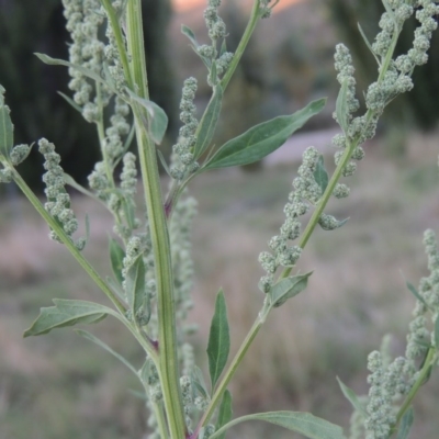
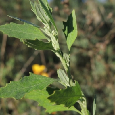
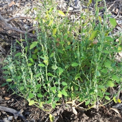
Environmental weed in NSW and Victoria.
http://keyserver.lucidcentral.org/weeds/data/media/Html/chenopodium_album.htm
Chenopodium album is listed in the following regions:
Canberra & Southern Tablelands | Albury, Wodonga | South Coast | Far West New South Wales | Hume
Maps
Albury ANU Dickson Precinct Australian National University Banksia Street Wetland Corridor Brundee Swamp Nature Reserve Callum Brae City Renewal Authority Area Commonwealth & Kings Parks Crace Grasslands Dickson Wetland Corridor Dryandra St Woodland Gigerline Nature Reserve Goulburn Mulwaree Council Gulaga National Park Gundary TSR Hughes Garran Woodland Hughes Grassy Woodland Isaacs Ridge Isaacs Ridge and Nearby Isaacs Ridge Offset Area Lyneham Wetland Mansfield Wetlands Mcleods Creek Res (Gundaroo) Meroo National Park Mount Ainslie to Black Mountain Mount Majura Mount Mugga Mugga Mount Painter Pine Island to Point Hut Point Hut to Tharwa Red Hill Nature Reserve Red Hill to Yarralumla Creek Stony Creek Sullivans Creek, Lyneham South Tharwa Bridge The Pinnacle Tidbinbilla Nature Reserve Uriarra Recreation Reserve Wanniassa Hill Watson WoodlandsSurvey points
GG94 GG95 GG96