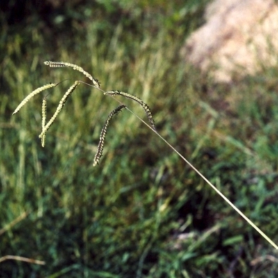
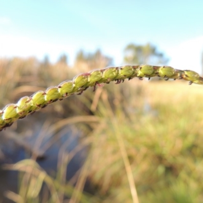
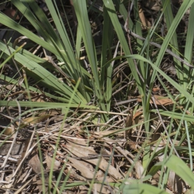
Environmental weed in NSW and Victoria.
http://keyserver.lucidcentral.org/weeds/data/media/Html/paspalum_dilatatum.htm
Paspalum dilatatum is listed in the following regions:
Canberra & Southern Tablelands | Albury, Wodonga | South Coast | Greater Sydney | New South Wales North Coast | Hume
Maps
ANU Baldessin Precinct Aranda Bushland Attunga Point Australian National University Banksia Street Wetland Corridor Blue Gum Point to Attunga Bay Bluetts Block (402, 403, 12, 11) Bruce Ridge Budjan Galindji (Franklin Grassland) Reserve City Renewal Authority Area Crace Grasslands Dryandra St Woodland Dunlop Grasslands Emu Creek Flea Bog Flat to Emu Creek Corridor Flea Bog Flat, Bruce Goulburn Mulwaree Council Gunning Bush Block Higgins Woodland Hughes Garran Woodland Isaacs Ridge and Nearby Isabella Pond Jarramlee-West MacGregor Grasslands Jerrabomberra Wetlands Lake Burley Griffin West Lake Tuggeranong Lerida TSR Lyneham Wetland Marsden Weir Park Riverside Park Molonglo Gorge Mount Majura Namadgi National Park Pine Island to Point Hut Piney Ridge Point Hut Pond Point Hut to Tharwa Red Hill to Yarralumla Creek Stirling Park Sullivans Creek, Lyneham South Sullivans Creek, Turner Tharwa Bridge The Pinnacle Tuggeranong Creek to Monash Grassland Wanniassa Hill Watson Green Space Wollondilly River Corridor & Walkway, GoulburnPlaces
Binda, NSW Fyshwick, ACT Goulburn, NSW Jembaicumbene, NSW Lerida, NSW Yass River, NSW