O'Connor Ridge to Gungahlin Grasslands species
Overview
The O'Connor Ridge to Gungahlin Grasslands corridor, via Lyneham Ridge and the much of the connected green spaces within Kaleen, is an area which may be important for north-south connectivity between the Inner North and Belconnen Districts for a range of ecosystem types. It forms an important linkage between a series of protected woodlands to the south, and a series of protected grasslands to the north, and also forms part of the catchment of Ginninderra Creek.
Moderators
Become the first moderator for O'Connor Ridge to Gungahlin Grasslands
11 species


- Area (hectares) 318.96 ha
- Survey Effort Score (SES) 12.74 sightings per ha
Follow O'Connor Ridge to Gungahlin Grasslands
Receive alerts of new sightings
SubscribeConservation level
-
Exotic (change?)
* designates formal legal status
Invasiveness
- Noxious or High Risk Weed or Pest (change?)
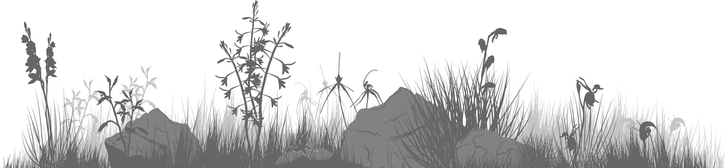
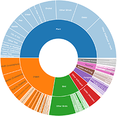
Plants
- Daisies
- Lilies & Irises
- Peas
- Other Wildflowers & Herbs
- Orchids
- Wattles
- Gum Trees
- Other Trees
- Other Shrubs
- Climbers & Mistletoes
- Ferns and Clubmosses
- Grasses
- Rushes, Sedges & Mat Rushes
- Other Fresh Water Plants
- Cacti & Succulents
- Marine Water Plants
Share location
Share link to O'Connor Ridge to Gungahlin Grasslands field guide