Maps
Rushes, Sedges & Mat Rushes
Isaacs Ridge and Nearby species
Overview
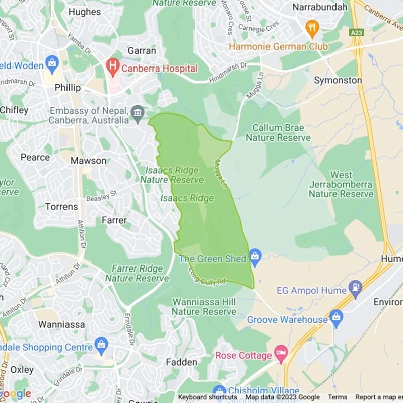
This location has been created to help bring some clarity to the Isaacs Ridge area, where Google Maps is vague on the boundary between Isaacs and Jerrabomberra. It covers Isaacs Ridge Nature Reserve, the Offset Area, Isaacs Pines and the open space nearby.
Become a moderator for Isaacs Ridge and Nearby
Become a moderator
No species currently belong to this list.

Land area
4.6K ha
Survey Effort Score (SES)
1
Follow this collection
Receive alerts of new sightings
Subscribe
Filter
-
Critically endangered * (change?)
* designates formal legal status
Share location
Share link to Isaacs Ridge and Nearby field guide
How can I use location QR codes?
Your export is being prepared...
We'll email it to you as soon as it's ready.
Note: This process may take up to an hour.

